Data Collection Your Way
All the features you need means Peak Performance in any environment.

There is no limit on the number of maps and data layers or feature records in your projects. Data can be collected on all features in a single project.
Set roles to control user permissions to assign only authorized users to each project, and grant only authorized users permission to access the web console.
Automated project dispatch and data collection transactions are handled through the SpatialWorx Sync Service. This enables real-time collaboration among all field team members.
Requirements are not always known when work begins. Make real-time on demand adjustments and push those changes to dispatched projects.
SpatialWorx is built from the ground up to work seamlessly on and offline. When the user is disconnected, data is stored in message queues on the client device then synced to the SpatialWorx cloud when back in coverage.
Plan your project by collecting field notes using freehand symbols (points, lines, polygons) and annotations. Augment those notes with photos, videos, audio, sketches, and accurate GPS locations.
With Bulk Update you can update many features with a single edit, saving considerable time during field collection.
Export data to a wide variety of common data types or securely Publish your data as maps and web services for stakeholders, inside or outside your organization.
SpatialWorx provides a secure, scalable cloud database where all your data is managed and stored, relieving you of the hassle and cost of maintaining your own IT infastructure
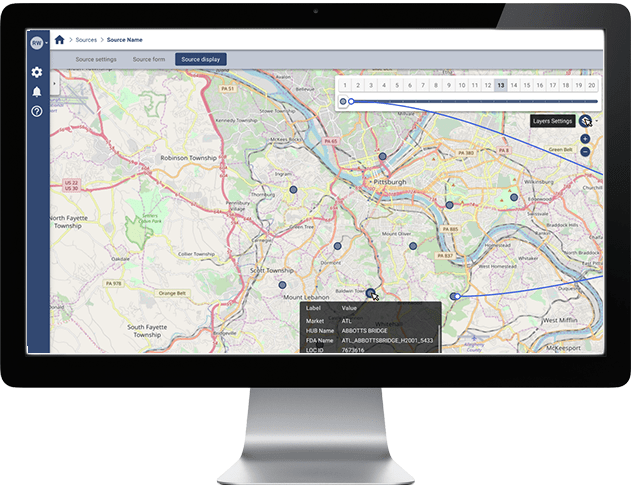
A one-stop environment to build and manage your account, data sources, projects, map layers, forms, and users. The Web Console also allows you to export data in various file formats or generate/host your own web services to share your data with anyone inside or outside your organization.
Bring your own file-based data and import it into SpatialWorx, create your own data, or point directly to your own enterprise data source. SpatialWorx's Data Adapters act as proxies to remote data sources such as relational database tables and web services (WFS, ArcGIS).
Map layers represent distinct sets of geographic features in your Projects and have their own symbology, attributes, and forms. SpatialWorx allows you to define map layers that may be isolated to one Project or shared between multiple Projects. In each Project definition you can also choose to include only a subset of a map layer - for example, a single geographic region such as a county or state.
The 2-way Sync Service ensures all users have access to the most current data and maps while at the same time all field data is automatically pushed back to the cloud and distributed to other user's devices. Field users have the ability to control what type of network connection supports syncing (WiFi or Mobile Network).
The Mobile App is the heart of the system and allows field users to view, collect, or edit the map features in one or more proejcts they have been authorized to work on from their mobile iOS, Android, or Windows device. The mobile app provides a choice of different basemaps so users can quickly find and reference both their location and that of the assets they are interested in.
The SpatialWorx Geospatial Server allows you to publish your maps and data for any project stakeholders, inside or outside your organization. Export data to a variety of OGC compliant formats or publish as maps and web services accessible to any authorized user.