Using the SpatialWorx cloud-based backend and powerful web console, you can set up projects, import or connect to data from many different sources, build forms, add map layers, and assign users to access that data on maps they open on their Android, iOS or Windows devices. SpatialWorx is built from the ground up to work both on or offline.
SpatialWorx is a SpatialAge solution from Byers Engineering Company that is your ideal, low-cost GIS platform for field data collection.
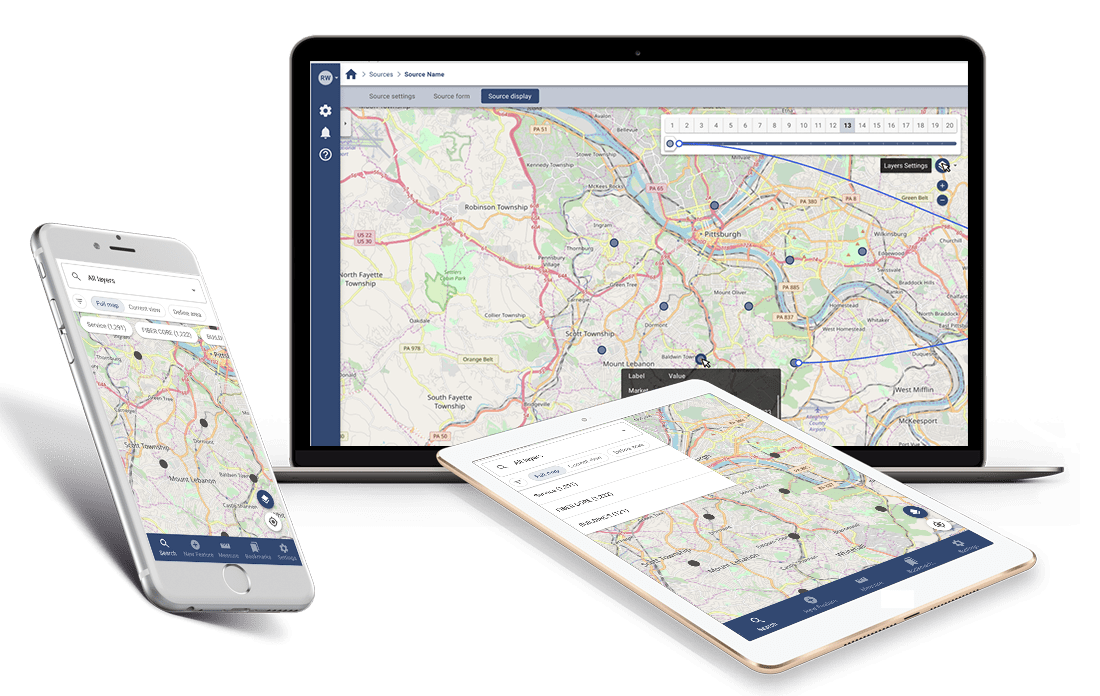
Working in your browser, you can set up your data collection projects including map layers, mobile forms, and workflows just the way you need them.
Get your data collection done with the SpatialWorx mobile app on your Android or iOS device while working in any field condition. Online or offline? You can work productively either way with SpatialWorx.
Empower your teams, clients, and stakeholders to fully collaborate with the SpatialWorx innovative IoT sync technology and proprietary data adapters. No database or programming skills required to get connected and get the job done.
Collecting, maintaining and sharing your location-based data can be a nightmare due to differences in systems, formats, and processes. SpatialWorx can play a vital role in helping you deal with this complexity by seamlessly pulling together data from many diverse sources into a single integrated solution.
Using the SpatialWorx rich media support and its flexibility to structure and model your data in a meaningful way, you can build a comprehensive record of all aspects of your assets or other field data.
We designed SpatialWorx from the ground up to be flexible enough to work for any organization, from the largest enterprises down to the smallest teams, and to integrate seamlessly with your existing artifacts, frameworks, and processes.
With its support for a robust set of data formats, its powerful and easy to use toolset, and its secure / scalable cloud-based platform, SpatialWorx can be an essential component to help you manage your field data collection projects.
Put the power of our DIY project creation console to work. This is the one-stop shop where you manage your account and set up your projects by connecting to or importing data, adding layers, building forms, and managing users.
SpatialWorx requires minimal technical knowledge or training and eliminates the need for you to establish any kind of infrastructure.
Field operations can be expensive. So you need your crews to work as quickly and efficiently as possible. The SpatialWorx app includes just the right set of tools and capabilities to speed up locate, review and capture, without sacrificing the accuracy, or integrity of your data.
Field users can quickly download one or more projects to their device and continue to work even when disconnected from the network.
The true power and value of your data can be realized when it is shared within your team and with other teams and systems, either inside or outside your organization.
SpatialWorx provides numerous methods to export, publish, update, and share the data you collect to all project stakeholders.